Infinite Possibility
Global ICTof E-Government & Solution

GeoCanvas
HOME > Solution > GeoCanvas
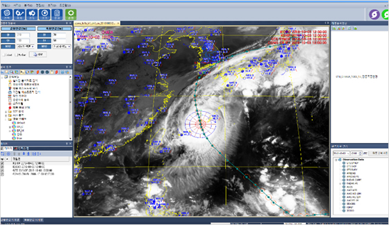
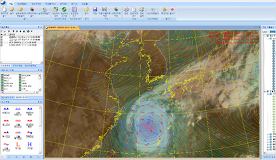
- GeoCanvas is an optimized software that includes satellite imagery processing, analysis, editing and facility management functions for satellite imagery interpretation/analysis business.
- GeoCanvas converts raw satellite images/vector data into its won compression formats (CVF/GRF) which is effective for image display, and provides optimized imagery service for users.
- GeoCanvas mounted the satellite data processor module to utilize the satellite image data and aerial photo data of remote-sensing satellites (polar-orbiting satellites with high resolution and geostationary satellite (meteorological satellite), etc.) by maximum 1m*1m enlarged and provide to users.